As forecasters continue to indicate that a super El Niño could develop this summer, a meteorologist and weather writer has outlined several ways the phenomenon could contribute to weather patterns in the year ahead.
Why It Matters
According to the National Oceanic and Atmospheric Administration (NOAA), El Niño is a natural climate pattern in the Pacific Ocean and the warm phase of the El Niño‑Southern Oscillation (ENSO). It develops when trade winds that usually blow west along the equator weaken, allowing warm surface water to move east toward the west coast of the Americas.
As this happens, the normal rise of cold, nutrient‑rich water from below the ocean surface weakens or can stop altogether. These changes in ocean conditions affect weather patterns.
During El Niño, the Pacific jet stream moves south of its typical position, which is linked to drier and warmer conditions in the Northern U.S. and Canada, and wetter conditions across the Southern U.S.
Forecasters have previously indicated that a particularly intense, super El Niño could develop this summer.
What To Know
In a Monday article, Washington Post weather writer and meteorologist Ben Noll said that the possible super El Niño could rival the record‑strength event of December 2015, when central equatorial Pacific sea temperatures ran 5.04 degrees Fahrenheit above average.
However, he cautioned that its eventual intensity remains uncertain, noting that no two El Niño events unfold the same—particularly in a warming climate.
Noll also listed six El Niño-related weather impacts anticipated to occur through at least October, based on new model outlooks:
- Atlantic hurricane activity could be reduced, while increasing cyclone threats across the Pacific, including Hawaii, Guam and eastern Asia.
- Weaker monsoon rainfall, and possible drought in central and northern India, potentially affecting agricultural output.
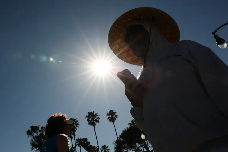
- The western U.S. could see hotter, more humid summers, punctuated by unusual heavy rain, with wetter conditions and extended severe storms possibly reaching into the Plains.
- Drought may expand across areas of Central Africa, Australia, Indonesia, the Philippines, parts of the South Pacific, Central America and northern Brazil later in the year, while intense rainfall raises flooding risks in Peru, Ecuador, northern and eastern Africa, the Middle East and equatorial Pacific regions.
- Heat waves are likely to become more frequent across large swathes of South America, the Southern U.S., Africa, Europe, parts of the Middle East, India and, eventually, Australia.
- Global temperatures could hit new records—most likely around 2027.
What People Are Saying
Meteorologist Dylan Federico wrote on X, Sunday: “The brand new EURO Seasonal Model calls for a Super El Niño to develop this Summer. This upcoming El Niño event is likely to rival 1982, 1997, and 2015—and has the potential to be the strongest in recorded history. This is a huge deal because El Nino events are typically associated with below-average Hurricane Seasons in the Atlantic Basin.”
Michelle L’Heureux, ENSO team lead for NOAA’s Climate Prediction Center said: “The March ENSO outlook shows a 17 percent chance of at least a ‘strong’ event during the August-October 2026 time frame. Our team defines a ‘strong’ El Nino as temperatures in the Nino-3.4 region exceeding +1.5C. This likelihood increases to 33 percent by the October-December time frame.”
What Happens Next
According to the Climate Prediction Center, El Niño has a 62 percent chance of emerging in June to August 2026, lasting through at least the end of the year.